


The automation of boomsprays to deliver herbicides and fungicides only to where they are needed requires spatial input data extracted from images. How that imagery is obtained and processed is undergoing extensive innovation-driven disruption.
There are boom-mounted sensor and camera options, drones, robotically derived weed maps and – now – satellite imagery in the mix.
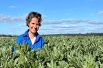
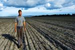
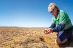
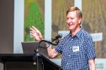
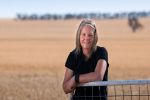
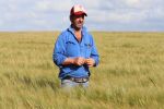
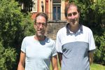
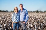
Mitch Seis, a fourth-generation grower at Mungana Farming at Macalister, Queensland, is familiar with the dilemmas this disruption can cause for growers.
Despite being an early adopter of technology, Mr Seis says he is holding back on spot spraying technology until he has a better feel for the practicalities and costs associated with different technological options.
This is especially significant given that the Seis family also operates a harvesting and spraying contracting business in the region.
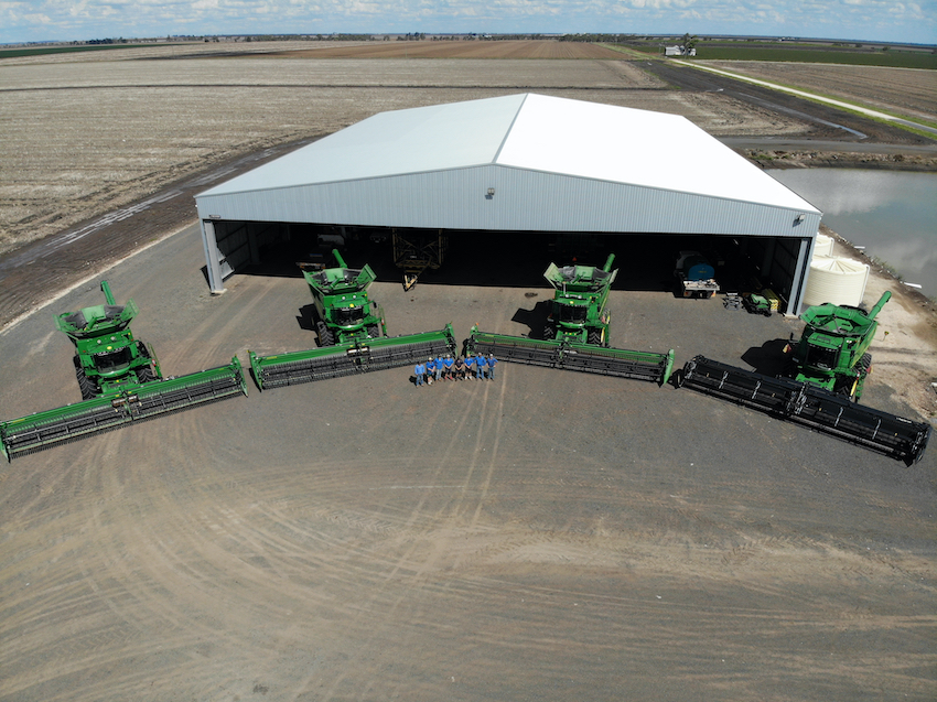
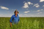
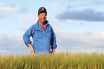
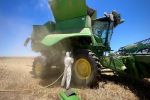
Fleet of harvesters at Mungana Farming and Seis Contracting in Queensland, where the Seis family were early adopters of controlled traffic farming technology. Photo: Mitch Seis
“I’ve grown up with controlled-traffic farming – the software and automation are second nature to me,” Mr Seis says. “But with autonomous spraying, the technology is moving the fastest I’ve seen, which raises this whole issue of deciding when to invest in this technology and on what.”
Of the various options to consider there is one, he says, that appeals more than others: basing the automated spot spraying on files derived from super-high-resolution satellite images. This bypasses the need for investment in extra equipment, such as drones and on-boom sensors, avoids software glitches and can be integrated with existing machinery.
This technology, however, is in its infancy. It is also likely that different technologies for site-specific herbicide and fungicide application will have different characteristics in terms of price, accuracy, workflows and integrations.
The feeling among specialists is that growers will likely benefit most by having access to a range of options, noting some satellite technologies, for example, are likely to complement drone systems or boom-mounted cameras within a broader workflow.
Data farming from satellite imagery
To help satellite-based technology mature and to derive an understanding of its costs and benefits, GRDC has invested in two projects. One is targeting detection of in-crop and fallow weeds from satellite images and the other is targeting disease symptoms.
Leading the projects and the software development is DataFarming, a company that specialises in applications of spatial data and digital agronomy in agriculture. DataFarming is working with a range of experts across the two projects, including the SmartSat Cooperative Research Centre, the University of Sydney, Syngenta, Elders and others.
DataFarming’s workforce combines the expertise of software developers and data scientists with agronomists and technical support. Their goal is to more fully realise the potential of digital agronomy, with a focus on products that enhance cost-effective automation.
Managing director Tim Neale says that project activities have recently begun with a team of collaborating growers and agronomists. Among the participating growers is Mr Seis.
Mr Neale says projects will explore opportunities to research, test and navigate pathways to autonomy in grain production systems. “This involves exploring the use of sensors, artificial intelligence and satellite imagery to generate inputs that inform the operation of machinery and robots as a routine part of crop agronomy,” he says.
While the key focus is on weeds and diseases, the same technological systems can also be applied to deal with pests, nutrition disorders and other yield constraints that have visible symptoms.
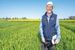
First activities begin
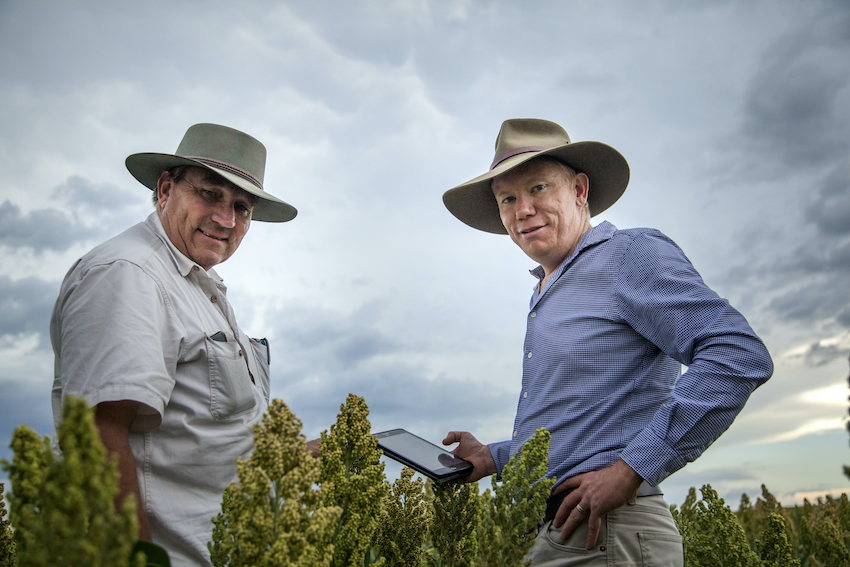
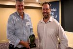
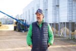
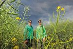
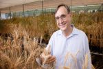
Agronomist Mike Jones (left) and Tim Neale. Photo: DataFarming
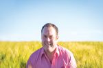
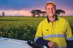
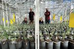
In Horsham, Victoria, agronomist Matthew Sparke is working with DataFarming by scouting for paddocks with scattered weed patches to use in developing satellite-based weed map data for spot spraying. Mr Sparke is senior adviser at Sparke Agricultural & Associates.
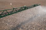
He explains that once a paddock is identified, DataFarming will send a drone operator to produce a benchmark weed map. This is used to test software capabilities to derive equivalent weed detection data from satellite images of the same paddock. The effectiveness of the resulting action maps is then tested in the paddock, initially through the control of sections (and possibly each nozzle) during spot spraying.
Mr Sparke says it has proved easy to recruit growers for these paddock trials as many are keen to see what data processing based on satellite images can achieve.
“It’s important to note that with satellite images, opportunities also arise for more-extensive, cost-effective paddock monitoring,” he says. “For example, the same technology system can constantly scout paddocks for the emergence of weedy patches that can trigger testing for herbicide resistance at earlier stages, making remediation action more effective.”
The same holds true for disease monitoring or for the detection of nutritional deficiencies.
He foresees only gains in capabilities as the quality of sensors orbiting the planet improve.
Already he has seen a 150-band sensor come online, meaning that many narrow bands of light from a very broad range of the spectrum are being captured (including visible and infrared). That translates into a lot of additional data about crop health, growth rates and yield constraints. Today, most satellites capture fewer than 10 bands of light.
“The technology is evolving in ways that might even make it possible, for example, to use light signatures from different parts of the spectrum to identify individual weed species,” Mr Sparke says. “Given the rate at which this technology is developing, it could prove possible for section spot spraying based on satellite data to become commercial in about two years.”
From a GRDC standpoint, this shows the importance of the related work by Nufarm to develop new registered use patterns for spot-spraying technology, as well as the work by the Australian Herbicide Resistance Initiative to use weed mapping technologies to get the most out of the knowledge, tools and models available in weed ecology, population dynamics and integrated weed management.
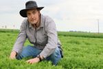
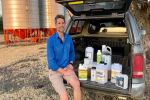
In Macalister, Mr Seis has already done a preliminary paddock trial on his farm targeting weeds. His 2400 hectares includes a mix of irrigated and dryland cropping, with a rotation that includes cotton, sorghum, wheat and barley.
“The process was quite easy,” Mr Seis says. “We exported our paddock boundary files from my John Deere to DataFarming; they then mapped my paddocks with a drone to get a benchmark and then with satellite images. DataFarming then sent us a file that we uploaded to the spray rig. All we had to do was tweak some settings from a general broadacre setting to a set up with more look-ahead and higher ‘standby pressures’ settings.”
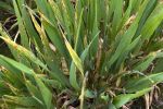
That trial used satellite images with 30-centimetre pixel resolution, which is much finer (more than 1000 times as many pixels) than the 10-metre resolution commonly used in Australia.
There were some difficulties resolving weeds that were water stressed, wilting and not particularly green, but this is an issue for most boom-based sensors.
Even so, that preliminary trial was able to determine that less than five per cent of the field was covered by weeds, requiring far less herbicide than blanket spraying to achieve weed control.
Mr Sparke says that a switch to spot spraying is likely to produce a similar reduction in the amount of chemical needed wherever this technology is applied. In addition, the satellite option to derive the weed maps is likely to prove cost-effective.
“With cameras required every 50cm along a 36m boom, the camera-on-boom technology can cost anywhere between $200,000 to $300,000,” Mr Sparke says. “The data processing needs of these cameras slows tractors down to about 18 kilometres per hour, introducing inefficiencies. These costs and inefficiencies can be circumvented if satellite data becomes available.”
Mr Seis has identified an additional benefit: “The reduction in herbicide use has all these flow-on environmental benefits,” he says. “That matters to us and the big draw with the satellite approach is that we can achieve those benefits in a really cost-effective way using the machinery we already have.”
Investment goals
Key targets for technology development within these two GRDC projects include:
- green-on-brown weed detection (fallow) from satellite data to automatically control boom sections during herbicide application;
- green-on-green weed detection (in-crop), such as ryegrass in cereals, from satellite data to inform section control during herbicide application;
- early stage disease detection – foliar diseases in cereals, Rhizoctonia and charcoal rot – from satellite data to inform targeted control with fungicides and cultural practices;
- early detection of anomalies in crop growth using satellite imagery to generate alerts to growers and agronomists;
- fusion of a number of datasets to help make management decisions; and
- looking at the barriers to adoption of autonomous agronomy and how agronomists’ roles may change over time.
More information: Tim Neale, tim@datafarming.com.au; Matthew Sparke, matthew@sparkeag.com.au; Mitch Seis, mitch@seiscontracting.com.au