


While soil variability is also a major driver of yield variability, growers generally lack the tools with which to understand and effectively tackle this issue.
Recognising this, GRDC has invested in a project that is developing novel technology that can generate three-dimensional maps of plant-available water capacity (PAWC) and soil constraints, providing growers with a more-accessible soil management tool.
The project is led by the University of Sydney in collaboration with PCT AgCloud.
The key to advancing soil mapping capabilities lies in leveraging advanced machine learning (ML) techniques to make use of multiple geospatial data layers such as soil tests, yield maps, remotely sensed imagery, climate data and additional layers.
The aim is to produce detailed 3D maps of PAWC, the depth of soil constraints, and to uncover any hidden factors that impede crop health and yield.

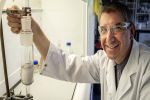
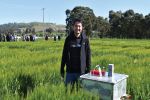
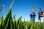
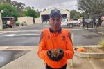
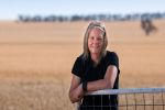
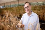
Dr Jie Wang, post-doctoral fellow at the Digital Agriculture, Precision Agriculture Laboratory at the University of Sydney. Photo: The University of Sydney
Soil mapping
Typically, existing methods to map soil constraints only scratch the surface by relying on 2D models to predict crop outcomes. The new strategy will dig deeper by evaluating variation in the full soil profile across farms and within paddocks.
This can be achieved with emerging ML techniques in a data-driven process that can uncover hidden patterns and relationships within the soil.
Central to this research are the cutting-edge 2D and 3D mapping technologies that do more than create digital representations of the soil. Instead, they delve into the myriad factors that influence crop growth, such as salinity, sodicity, acidity and constraint-limited PAWC.
The project involves the targeted sampling of 75 diverse farms across Australia’s grain growing regions (see Figure 1) in collaboration with growers – ranging from small family farms covering a few hundred hectares to large corporate enterprises (Virdis Ag, Warikirri Cropping and Lawson Grains).
Figure 1: Map of sampled farms across the grain growing subregions of Australia.
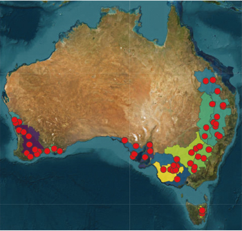
Source: The University of Sydney
The coordination with growers and data collection is assisted by agronomists, precision agriculture consultants and grower groups across the country with specific input from:
- Ned Skehan (OptiSoil) in the eastern states;
- Aidan Sinnott and David Caporn (VRT Solutions) in Western Australia;
- Beth Sleep (Elders Rural Services) in South Australia;
- Cummins Ag in SA; and
- Reuben Wells (Ag Logic) in Tasmania.
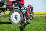
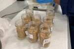
For farms selected in the project, researchers are investigating and characterising soil constraints through multiple depths. This data is being used to train and validate scalable machine learning models capable of producing predictive maps of PAWC and the depth to some (not all) constraints in any environment or production system.
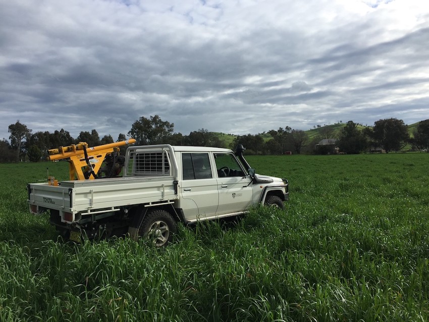
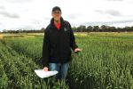
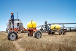
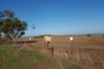
The University of Sydney’s soil drill-rig set up. Photo: University of Sydney
The innovation toolbox
The computational toolkit used in this project includes a range of advanced ML models that are designed to enhance the understanding of soil complexity.
Key elements in this toolbox include:
- depth-specific analysis. By examining each layer of soil individually, insights are gained into the unique challenges and opportunities that lie beneath the surface;
- spline and 3D modelling. Through ML techniques such as random forest (RF) modelling, a 3D understanding of soil characteristics can be derived that offers a comprehensive view that goes beyond the 2D maps of existing methods; and
- advanced predictive models. Using methods such as increment-averaged kriging (IAK) and Gaussian process regression (GPR), estimates can be provided of how reliable the maps are in different areas and how to best improve with targeted sampling and data collection.
The backbone of these models is a treasure trove of data. This ranges from satellite imagery and elevation to detailed on-farm soil surveys using ground-based electromagnetic induction and gamma-ray spectrometry.
Coupling this wealth of off-farm data (such as satellite imagery) with on-farm data (such as soil tests and yield maps) is critical to constructing accurate 3D maps of soil constraints. Examples of this capability are provided in Figures 1 to 4.
Figure 2: Mapping the depth at which 10 per cent soil exchangeable sodium percentage (ESP) is reached as a means to inform gypsum application.
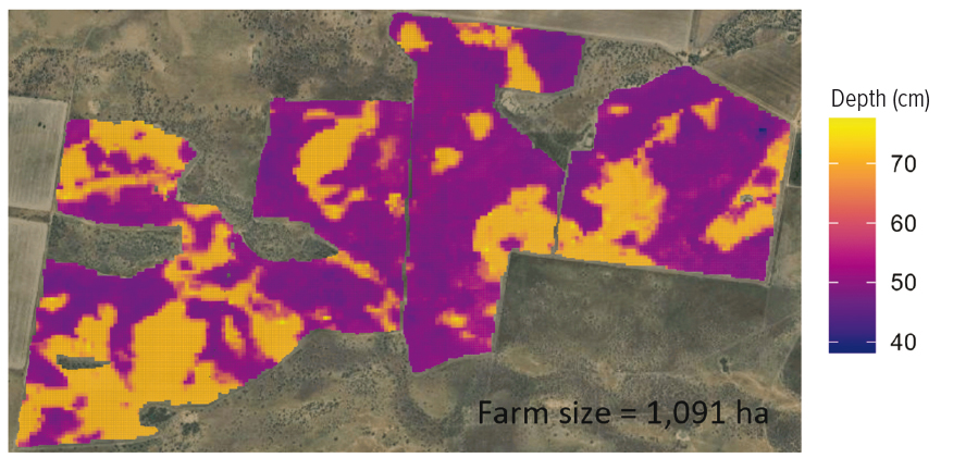
Source: The University of Sydney
Partnering for impact
The project’s goal extends beyond using innovative analytics to produce insightful soils-based data layers. The other key challenge is in making it simple and easy to apply those analytics on-farm to make more informed, profitable and environmentally friendly decisions on soil and input management.
That means translating research findings and models into practical, user-friendly mapping products. This is being done in collaboration with PCT AgCloud, which is developing interface software. PCT’s work is key to making it easy for precision agriculture consultants, agronomists and growers to use those analytics to optimise management of soils and inputs based on PAWC, the depth to constraints and yield potential.
Figure 3: Plant-available water capacity to a one-metre depth in the soil profile.
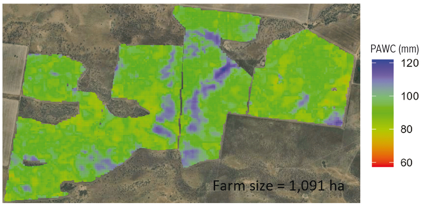
Source: The University of Sydney
Having accurate data on PAWC also provides a basis to leverage newly developed geospatial models to more-easily retrieve accurate data on plant-available water in different paddocks and at different depths.
A key use for these mapping features and products is the strategic application of fertilisers and soil ameliorants based on the presence of, and depth to, soil constraints.
For example, the modelling under development can make it quick and easy to couple point-source soil test data with other geospatial data to generate farm-scale maps of the depth to a sodicity constraint for variable-rate gypsum applications or other management practices, depending on the specific context (see Figure 2).
Moreover, this project enhances decision-making by providing quantified uncertainty estimates, giving growers an understanding of the confidence they can have in these soil constraint maps and how the accuracy changes when different on-farm data is available for a given paddock or zone. This feature is crucial as it not only indicates the reliability of the applied models but also highlights areas where additional samples should be collected to improve the predictions.
Sampling of all 75 farms is expected to be completed by mid- 2024, with initial PAWC and depth-to-constraint products delivered to users in mid-to-late 2024 for testing and feedback.
Figure 4: Exchangeable sodium percentage limited plant-available water capacity to a one-metre depth of the soil profile. Source: The University of Sydney
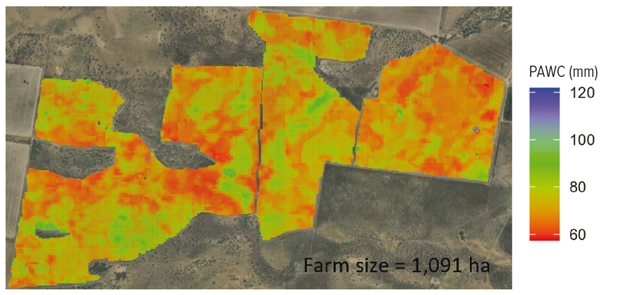
Source: The University of Sydney
Geospatial analytics to get the most from residual herbicides
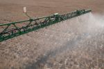
GRDC’s approach to incubating the next generation of PA technology also extends to opportunities and challenges posed by an increasing reliance on residual herbicides.
In an additional investment, geospatial analytics are being developed to predict herbicide residue carryover and the likely effect on subsequent crop establishment and yield.
The intention is to give agronomists and growers more localised and predictive insights on the persistence, weed control efficacy and potential crop impacts of residual herbicides to get the most out of them in any given farming system.
This project is led by Dr Lukas Van Zwieten at the NSW Department of Primary Industries, with support from Southern Cross University, the Precision Lab at the University of Sydney, ICAN and Ishka Solutions.
The breadth of expertise required to support this calibre of predictive modelling cuts across multiple areas. It requires coupling of precision agriculture with strong knowledge of the interactions between soil properties and herbicide properties. This involves coupling models on:
- herbicide bioavailability and persistence;
- soil water infiltration; and
- crop toxicity thresholds.
This development work requires generating new datasets through multi-year field trials now underway. The project will leverage a set of core sites with small-plot trials in conjunction with grower-scale ‘satellite’ sites across the country. Datasets collected in related projects are already being leveraged to support this work.
Ultimately, this project aims to give growers weed control and crop safety insights to stack on top of capabilities being developed through other GRDC investment by:
- Syngenta for variable-rate pre-emergent prescriptions;
- Bayer Crop Science, Data Farming and Croplands in site-specific weed management; and
- the Australian Herbicide Resistance Initiative in next-generation integrated weed management analytics.
There are also potential impacts that will support Nufarm in the development of new registration packages for green-on-green use patterns and impacts across other parts of GRDC’s investment portfolio.
More information: Patrick Filippi, patrick.filippi@sydney.edu.au; Lukas Van Zwieten, lukas.van.zwieten@dpi.nsw.gov.au