


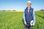


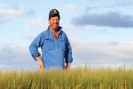


The challenge
Variability in soil constraints and water-holding capacity is a major driver of yield variability in grain crops. While this is well recognised, growers have generally lacked the tools to reliably map this variability – the first step to deploying amelioration strategies and better input allocations.
Existing methods to map soil constraints have tended to rely on oversimplified assumptions and resulted in low grower confidence. This has limited the use of soil maps in on-farm decision-making.
Researchers leading soil mapping work at the University of Sydney have come to recognise that the key to advancing soil mapping capabilities lies in making use of multiple sources of geospatial data layers – soil tests, yield maps, remotely sensed imagery and climate data.
To leverage such a complex mix of data layers, however, requires using advanced machine learning (ML) technology and techniques.
Opportunities were identified to develop and deploy new ML-based approaches to producing detailed 3D soil maps that overcome past limitations. That means, for example, being able to map the depth of soil constraints and the ability to uncover any hidden factors that impede crop health
and yield.
The response
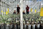
From 2019 to 2025, two consecutive GRDC investments are allowing the University of Sydney to develop novel soil mapping capability. The university is working with PCT AgCloud, a company specialising in precision agriculture software and analytics services.
The first project developed models and tools to map fine-scale 3D variability of agronomically important soil constraints. This included pH, electrical conductivity (EC) and exchangeable sodium per cent (ESP).
Importantly, it also sought to map the depth at which these chemical barriers become limiting and impact plant-available water capacity (PAWC).
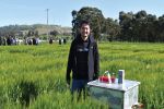
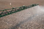
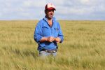
Four collaborating farms in New South Wales and Western Australia were used for field work in the project’s first phase.
In the second project, the team built on this underlying science to develop, validate and value-add to these ML models in partnership with PCT AgCloud.
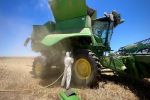
The models were validated against more environmental scenarios, with the project scaled out to 75 farms Australia-wide for testing across a range of soil, climate and farming systems. Analysis of historical crop yield data helped to identify likely wheat and canola yield variations associated with differences in the soil profiles.
This led to the development of tools that predict economically important information about the depth in soil profiles where constraints to PAWC became an issue.
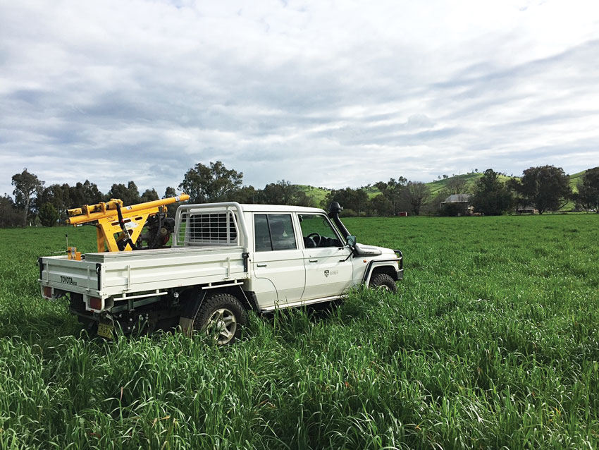
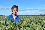
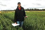
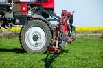
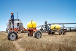
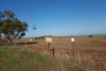
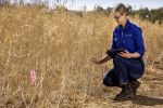
The University of Sydney’s soil drill-rig set up. Photo: The University of Sydney
The impact
These GRDC investments led to the development of software programs to map soil constraint variability and predict crop yield.
The maps highlight paddock areas with different soil management classes. Knowledge of these different depths to ‘effective soil profile constraint’ provides important information about crop input management decisions to improve crop yield or avoid yield losses.
An economic analysis of project impacts has been undertaken by Bob Farquharson & Associates. Broadly, it has found that better knowledge of soil constraints reduces management error and increases the likelihood of yield improvement.
Several scenarios were developed to assess potential aggregate economic benefits using intentionally conservative estimates of potential project outcomes.
For example, the potential gain for grain growers who achieve full yield improvement based on the ML predictions was estimated at $55 per hectare for wheat and $125/ha for canola.
Alternatively, if five per cent of Australian wheat and canola areas achieve five per cent of the potential yield improvement per hectare, the economic benefit from the project outcomes would have a net present value (NPV) of $9.3 million.
In all, the present value of GRDC’s investment in ML-based soil mapping technology amounts to $2.97 million and was estimated to have produced a present value of benefits (PVB) worth $12.27 million. This results in a benefit–cost ratio of 4.14 to 1.
These investments were also deemed to have delivered environmental benefits through improved targeting of crop inputs that can minimise impacts from inappropriate or excessive use. The extra accuracy also mitigates risks when opting for more targeted strategies, allowing greater grower confidence in making management decisions.
More information: GRDC’s ‘Delivering impact’ case studies